When the Mountain Has Two Names and Neither One Is on Your GPS
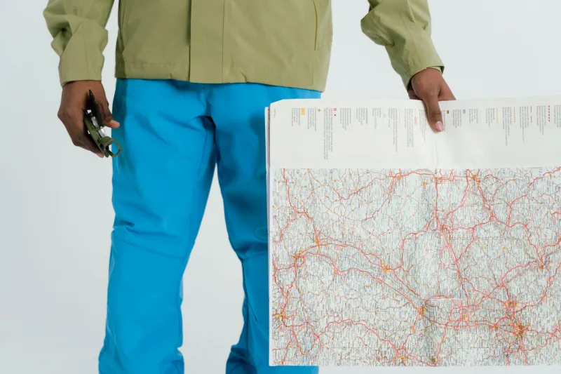
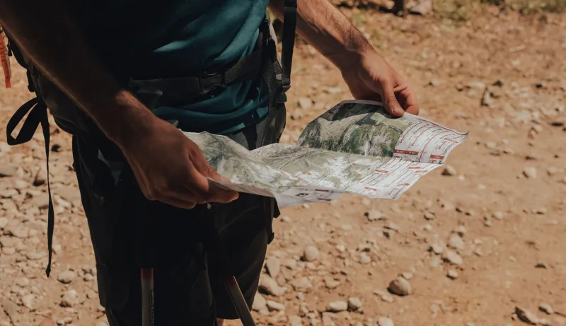
There's a particular kind of confusion that only hits you miles deep in the backcountry. You've got a topo map from 1987, a GPS unit pulling from a federal database updated three years ago, and a guidebook your buddy swore was "basically current." They all point to the same general direction. But the peak labeled Summit Ridge on your map doesn't appear anywhere on your GPS screen — and the name your device keeps insisting on doesn't match a single thing in your guidebook index.
You're not lost. But the mountain, in a very real bureaucratic sense, kind of is.
The Map Is Not the Mountain
American cartography has never been as clean or authoritative as it looks. The U.S. Board on Geographic Names — the federal body tasked with standardizing place names since 1890 — has processed tens of thousands of name changes, corrections, and outright deletions over the decades. Some of these changes are administrative housekeeping. Others carry the weight of centuries of erasure and, more recently, reclamation.
For hikers, the practical fallout is messier than most people realize. Trail guides printed before the mid-2000s often reference peaks, passes, and drainages by names that have since been officially retired. Meanwhile, GPS databases pull from sources that don't always sync with what's printed on National Forest maps. And the USGS topo layers embedded in apps like Gaia GPS or CalTopo? Those get updated on rolling schedules that don't necessarily match each other.
The result is a kind of geographic static — noise in the system that experienced navigators learn to filter but that genuinely trips up newer backcountry travelers.
Colonial Ghosts on the Ridgeline
A lot of this confusion has roots that go back a lot further than the digital age. When European explorers and later American surveyors moved through the West, they had a habit of slapping names onto features that already had them. Indigenous communities across the continent had detailed, sophisticated geographic vocabularies — names that described a peak's shape, its seasonal behavior, its spiritual significance, or its relationship to surrounding terrain.
Surveyors largely ignored all of that. They named mountains after generals, politicians, expedition sponsors, and occasionally themselves. These colonial-era names got baked into official records, printed on maps distributed by the millions, and eventually digitized into the databases that power your hiking app.
But those original names didn't disappear from the communities that used them. They survived in oral tradition, in tribal records, in the quiet knowledge passed between generations of people who actually lived near these places. And over the last two decades, there's been a significant and growing push to restore them.
The most high-profile example in the US is Denali, which the federal government officially renamed from Mount McKinley in 2015 after decades of advocacy from Alaska Native groups and the state of Alaska. But Denali is the visible tip of a much larger iceberg. Across the country, mountains, rivers, lakes, and valleys are in various stages of renaming — some official, some in-progress, some contested — and the cartographic record is struggling to keep up.
The Navigators Who've Felt the Gap
Talk to enough long-distance hikers and backcountry guides and you start collecting stories about these disconnects. A guide working routes in the Cascades described pulling up two different navigation apps mid-route and finding the same ridgeline labeled with two completely different names — one reflecting a recent tribal renaming effort, the other still carrying the surveyor's original designation from the 1890s. Neither app flagged the discrepancy. Both presented their version with equal confidence.
A historian specializing in Western cartography described the problem this way: maps have always been arguments, not facts. Every map reflects the priorities and blind spots of whoever made it. The dangerous thing is that we've trained ourselves to treat them as neutral documents.
For navigators working in areas where renaming efforts are active, this creates real logistical headaches. When a peak gets a new official name, the old name doesn't vanish overnight. It lingers in guidebooks, in forum posts, in the institutional memory of land management agencies still printing materials with outdated terminology. Someone planning a route by stitching together a Reddit trip report, a library guidebook, and a GPS app might encounter three different names for the same drainage without any indication that they're looking at the same place.
When Errors Become Permanent
Not every geographic ghost is the product of colonial erasure. Some are just mistakes that calcified over time. Surveyors misheard names. Handwritten notes got misread during transcription. A peak that locals called one thing ended up on the official record as something phonetically adjacent but meaningfully different — and then that error got copied from map to map for a hundred years before anyone caught it.
The USGS has a formal process for correcting these kinds of errors, but it's slow, it requires documentation, and it depends on someone actually submitting a query. Plenty of mistakes are still out there, quietly persisting on maps that hikers trust with their lives.
There are also cases where names were deliberately removed — features named with slurs, for instance, which the Board on Geographic Names has been systematically purging since the 1960s, with a major push in the early 2000s that renamed hundreds of features across the country. Those deletions are unambiguously the right call. But they still create navigational confusion when someone's working from a pre-2000 map that uses the old name.
Navigating the Noise
So what do you actually do with all this when you're planning a trip?
First, cross-reference obsessively. If you're using a guidebook more than ten years old, verify every named feature against a current USGS topo and at least one major GPS platform. Look for discrepancies and flag them before you're standing in a drainage trying to figure out which drainage you're actually in.
Second, check the BGN database directly. The Board on Geographic Names maintains a searchable online database — the Geographic Names Information System, or GNIS — where you can look up the official current name for any feature and see its history of name changes. It's not glamorous, but it's authoritative.
Third, when you're in a region with active renaming efforts, do a little research into local context. Tribal nations and advocacy groups often publish their own geographic resources, and those can give you important context that federal databases don't capture — including names that are in common use locally but haven't yet been officially adopted.
And finally, hold your map loosely. Not so loosely that you wander off a cliff, but loosely enough to remember that every map is a snapshot of what someone believed to be true at a particular moment. The mountain doesn't know what it's called. It was there before the name, and it'll be there long after the databases catch up.
The terrain is the terrain. Learn to read it, not just the label someone pinned to it.